

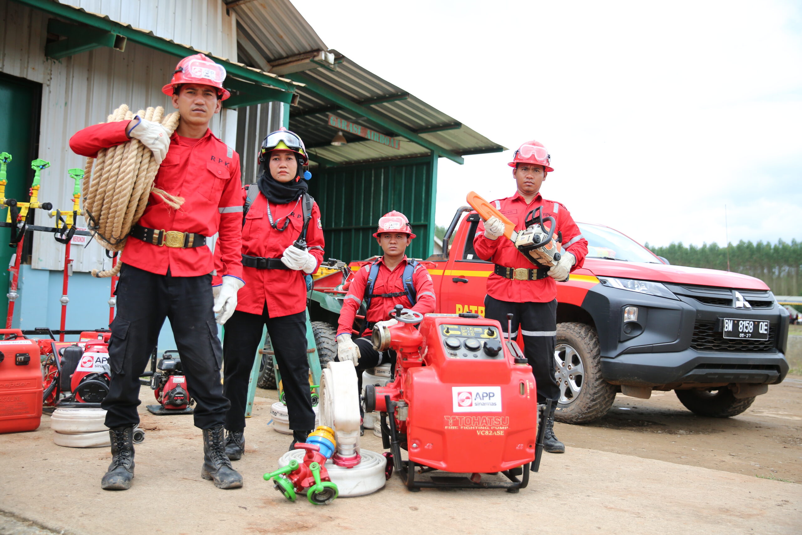
Protecting Fibre Supply Chain Through Smarter Fire Management
As climate conditions become increasingly unpredictable, safeguarding forest resources requires a combination of technology, data and experienced field teams. In this interview, Sujica Lusaka discusses how APP Group is integrating satellite monitoring, drones, AI-enabled cameras, weather intelligence and ground patrols into a layered fire-management system. He explains how these tools work alongside local knowledge and rapid-response teams to detect, verify and contain potential fires early, helping strengthen landscape resilience while protecting the fibre resources that underpin the company’s paper and packaging supply chain.
Sujica Lusaka is the Head of Fire Operation Management at APP Group, where he leads the company’s integrated approach to preventing and responding to forest and land fires across operational areas in Indonesia. With extensive experience in wildfire risk management, emergency response, and landscape-level fire prevention, he oversees the implementation of advanced monitoring systems, rapid response protocols, and cross-sector collaboration initiatives involving government agencies, local communities, and industry partners. Under his leadership, APP continues to strengthen its Integrated Fire Management framework, combining prevention, preparedness, early warning, and rapid response strategies supported by technology and field-based operations. Sujica works with data-driven fire management systems and employs community engagement as critical elements in building resilience against climate-related risks.
paperASIA: How is APP Group applying satellite monitoring, drones, cameras, weather data and ground patrols across its managed plantations to detect and verify fire risks, and how does this help protect the fibre supply needed for paper and packaging production?
Lusaka: APP Group takes a layered approach to fire detection and verification because no single technology can provide a complete picture of conditions across a concession landscape. At the regional level, our fire monitoring centres implement a Blanket Monitoring System, under which every location is monitored using a minimum of two different monitoring methods. This requirement is particularly critical for areas identified as having extreme fire risk, where the use of at least two monitoring methods is a must, while heightened attention is also given to other high-risk areas. By deploying multiple monitoring methods across each location, different technologies and on-the-ground observations complement one another and provide a more complete picture of conditions across the landscape.
Information from these different monitoring channels is brought together in Situation Rooms, where fire-related activities and data can be centrally monitored and assessed.
Satellite monitoring provides the broadest layer of visibility. Our monitoring centres receive hotspot information from satellites and sensors, which helps identify unusual heat signatures across large areas and provides coordinates showing where closer attention may be required. These alerts are complemented by technology-based monitoring tools such as Automatic Weather Stations, the Fire Reporting Online System (FROS), the Fire Danger Rating System (FDRS) and seven-day weather predictions, which provide additional information on weather and fire-risk conditions.
This information can then be viewed alongside GIS mapping data, including concession boundaries, water-level information and records of previous incidents. Looking at these data points together helps our teams better understand the location and surrounding conditions, assess the potential level of risk and determine where further monitoring or verification may be needed.
Fire towers and AI-based CCTV provide a more localised visual layer of monitoring. Our fire towers are approximately 35 metres high and allow guards to observe the surrounding landscape for visible indications such as smoke. We are required to maintain at least one fire tower per district, or every 20,000 hectares within our concessions, and our actual network exceeds this requirement. CCTV provides an additional visual monitoring channel that can complement observations from the towers.
Drones extend that visibility further, particularly where vegetation, terrain or distance may restrict what can be seen from a fixed observation point. They provide teams with another way to assess areas that may be difficult to observe directly from a fire tower. Alongside these technology-based systems, RPK ground patrols provide direct observations from the field, while information from surrounding communities adds another source of local awareness. Together, these layers help reduce potential monitoring gaps across the landscape.
We also recognise, however, that even advanced satellite technology has limitations, including situations where cloud cover or other atmospheric conditions can affect what can be detected or observed remotely. This is why an alert is not considered in isolation. We treat every detected hotspot with the same urgency as a potential fire, while using the other monitoring layers to verify conditions and, where necessary, deploying teams to conduct checks on the ground.
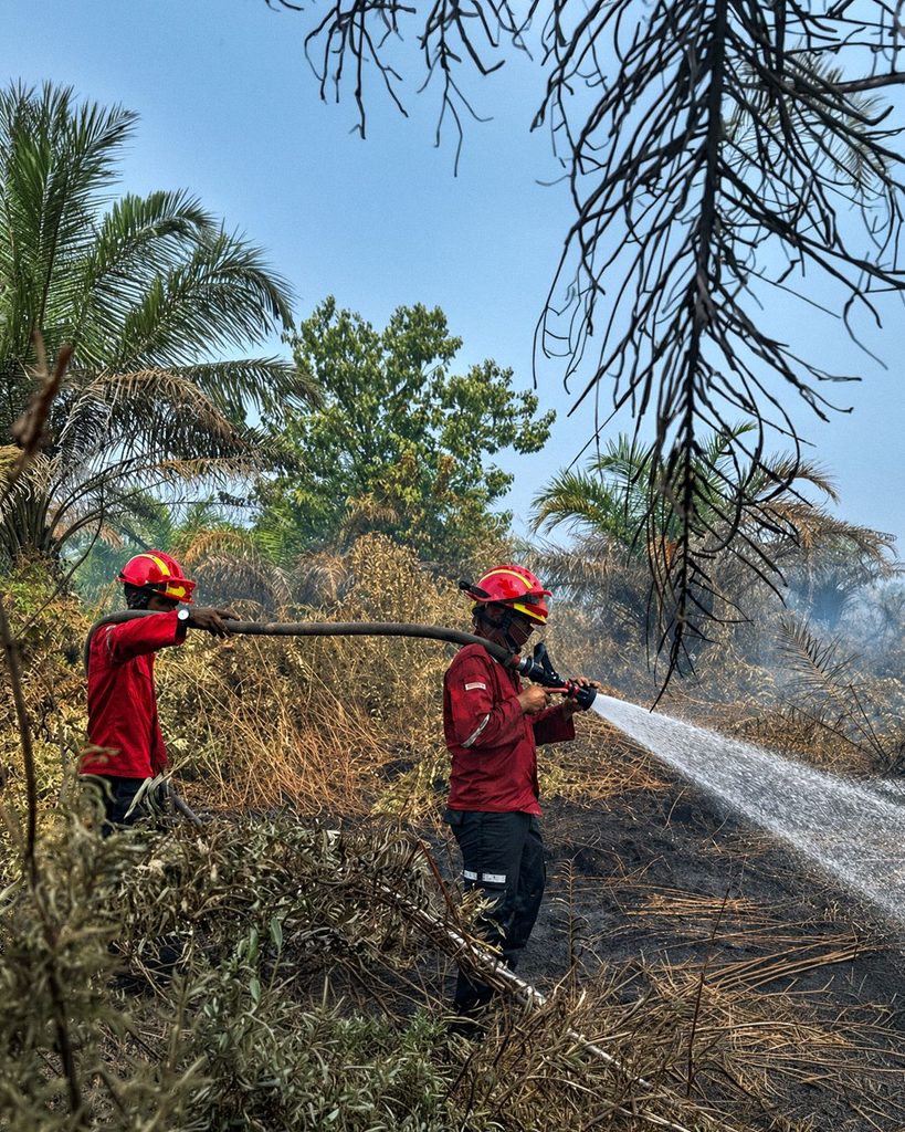
For example, when a tower guard observes smoke, the sighting can be cross-checked with another tower to help triangulate its approximate location. A ground team can then be deployed according to the accessibility of the area. Importantly, the team conducts verification with firefighting equipment already on hand. If a fire is confirmed, suppression can therefore begin immediately rather than requiring a separate journey to retrieve equipment.
Ultimately, the purpose of this layered system is to shorten the time between detecting a potential risk, verify what is happening on the ground, and taking action. By detecting and responding to fires as early as possible, we can reduce the risk of fire spreading across plantation areas and disrupting operations, helping to protect APP’s managed fibre resources that support our paper and packaging supply chain.
paperASIA: How do field teams combine technology-generated alerts with local knowledge and on-the-ground judgement to determine the appropriate response to a potential fire, particularly in challenging plantation conditions?
Lusaka: Technology gives our teams an important early indication of where attention may be needed, but the final assessment always depends on people who understand the landscape and conditions on the ground.
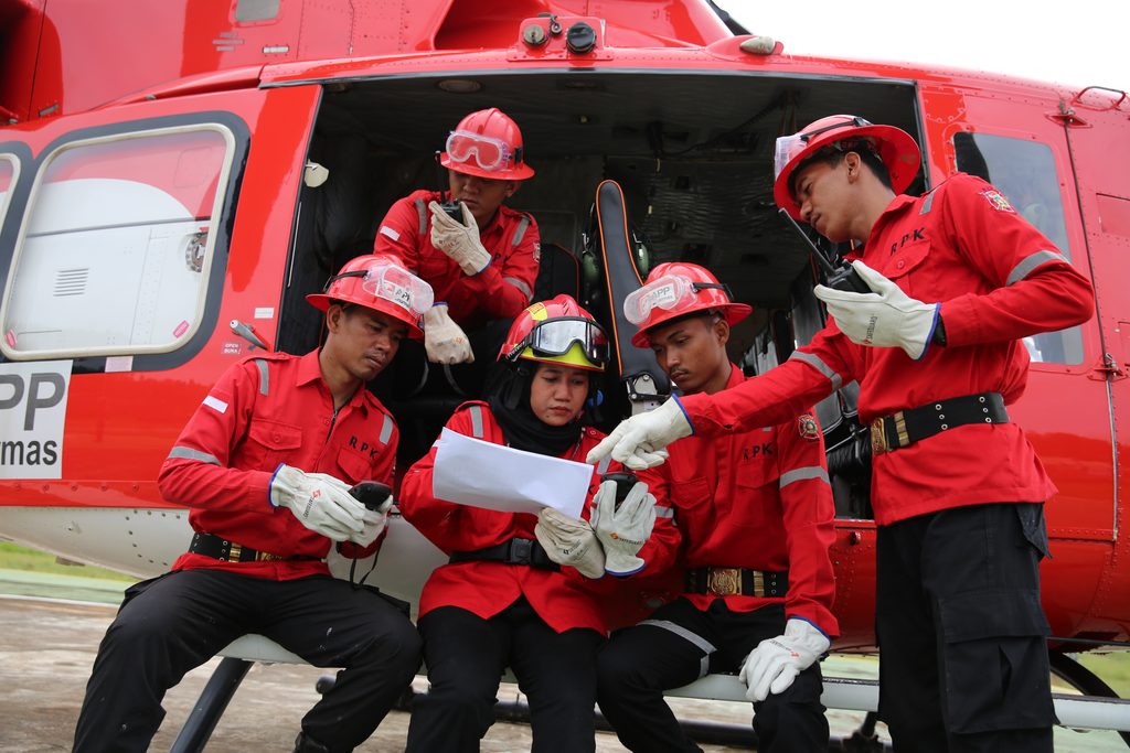
When a hotspot or another indication of possible fire is identified, the Incident Management Team (IMT) can draw on several sources of information, including satellite coordinates, fire towers, AI-based CCTV and drones, to determine how teams should reach and assess the location. Every hotspot is treated with the same urgency as a confirmed fire, which is why ground teams are equipped with firefighting gear from the moment they’re deployed, not after a fire is confirmed.
Local knowledge matters because there is no single “typical” plantation environment. A potential incident can sit near a forest or concession boundary, deep inside a forested area, on mineral soil, on peatland or right where the two meet. Hilly terrain can make access more difficult, while vegetation and distance restrict what a tower can see, which is part of why drones are used to cover blind spots that fixed observation points may not be able to reach effectively.
Once teams are on the ground, their judgement is critical in assessing accessibility, terrain, water availability, communications and the behaviour of the fire itself. On some occasions, disrupted or patchy communication due to bad network connection present challenges at the fire location.
These are practical constraints that can fundamentally change how an incident is managed. Without a communications signal, coordinating teams and relaying changing conditions back to the IMT becomes harder. Teams therefore need to adapt their approach to the realities of each location rather than rely on a standard response.
Verification and response aren’t treated as separate steps. Once a fire is confirmed, teams move immediately to contain it by stopping the fire from spreading along its perimeter. They then strengthen the boundary, check the area for any remaining smoke or heat, and confirm that the fire has been fully extinguished. Throughout the process, teams continue to report conditions back to the IMT until the incident is formally closed.
In this sense, technology and human expertise perform different but complementary roles. Technology helps teams detect potential incidents earlier and build situational awareness across a large landscape; experienced field personnel determine what those signals mean in practice and how best to respond under the conditions they encounter.
paperASIA: As climate conditions and fire risks evolve, how is APP Group using data and predictive technologies to strengthen fire prevention across its fibre supply chain, while ensuring that human expertise remains central to decision-making?
Lusaka: Our approach is increasingly about using data not only to detect fires, but to understand where risks may be building before an incident occurs. Satellite hotspot history, GIS mapping, water-level conditions, weather and climate information, and records of previous incidents can be considered together to identify areas that may require closer monitoring or additional preventive measures. This includes the use of APP’s Fire Danger Rating System (FDRS), seven-day weather predictions and fire-risk mapping to support earlier identification of potentially higher-risk areas.
Looking at these data points collectively allows teams to move from simply reacting to individual alerts towards a more risk-based approach to prevention. For example, changes in water levels, recurring hotspot patterns or periods of hotter and drier weather can help indicate where patrols, monitoring equipment, community engagement or other preventive resources may need to be strengthened.
This information also informs preparedness ahead of periods of heightened fire risk. In response to higher-risk conditions anticipated in 2026, APP has added 34 access-control and mitigation posts in vulnerable areas, working with Masyarakat Peduli Api (MPA) community groups, village leaders and Indonesian security personnel. Across 116 villages, approximately 404 MPA personnel are supporting fire monitoring and prevention, while Tentara Nasional Indonesia (TNI) and Indonesian National Police personnel have been deployed in higher-risk areas. Alongside this, community education continues year-round through brochure distribution, pamphlets and direct outreach during RPK patrols.
However, data does not decide on its own. Its role is to help our teams recognise patterns, identify areas of greater concern and make better-informed decisions about where to focus attention and resources. Conditions on the ground can shift quickly and can be influenced by terrain, vegetation, water availability, accessibility and other local factors that technology alone cannot fully interpret.
Satellites, drones, CCTV and environmental data can extend our visibility and improve preparedness, but field teams remain responsible for verifying conditions and determining what action is appropriate. The objective is therefore not to replace human judgement with technology, but to give people better information earlier so they can make faster and more informed decisions.
